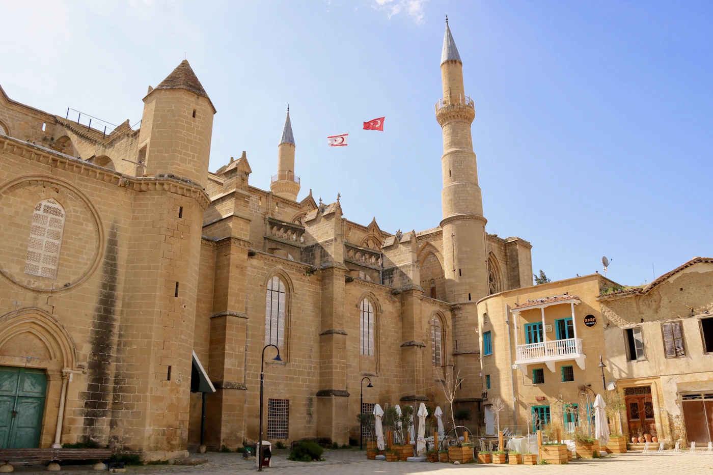
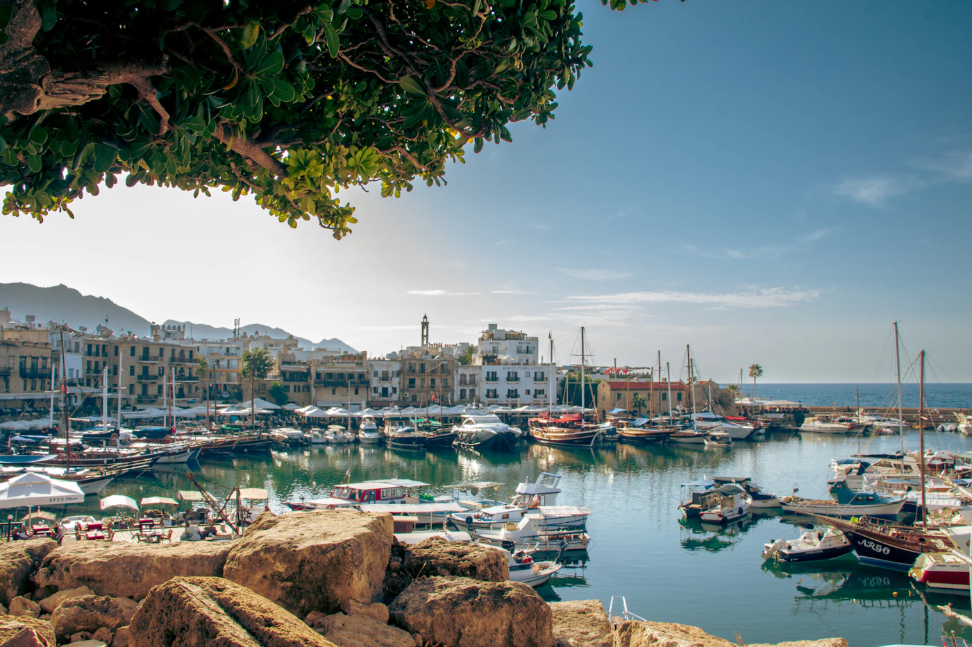
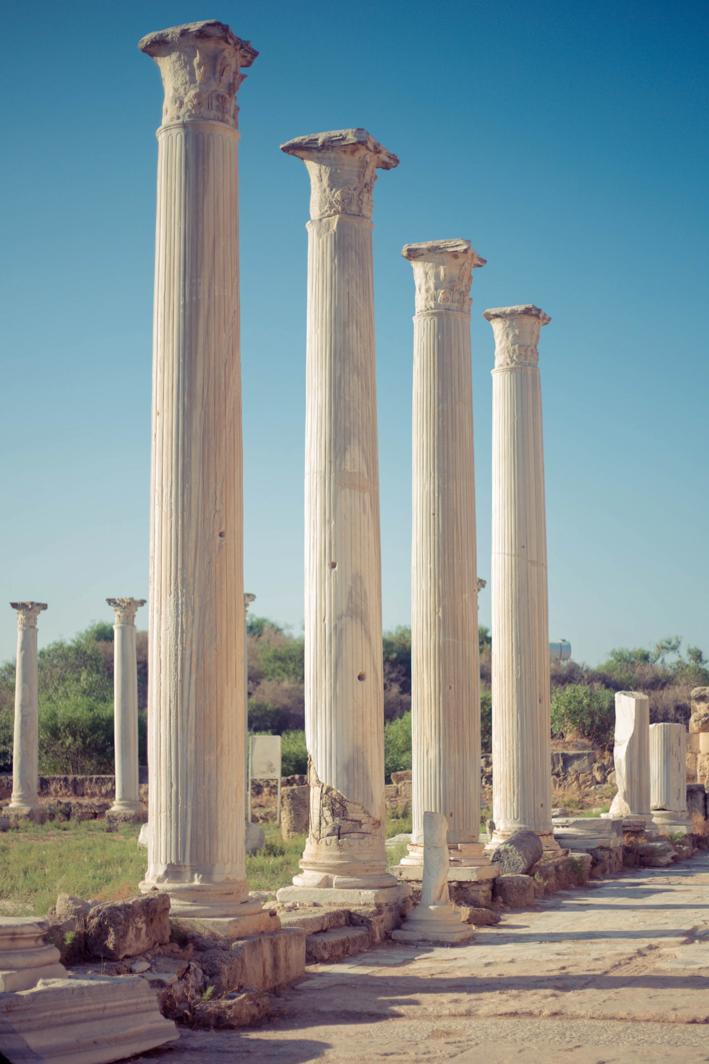
Administrative districts and local settlements are distinguished in the sources.
An Adarivo guide prepared with AI assistance and checked against source records. Share corrections and update suggestions through the contact page.
Know the area
Lapta is within the service area of Lapta-Alsancak-Çamlıbel Municipality. Support your visit plan with current municipal announcements and an exact address.
Plan your visit
Check a property’s village location and access to the coast separately. Map the distances between restaurants, shops and sightseeing stops.
Before you go
Before deciding about an area, check current local announcements and visit the address you are considering. Photos may create different impressions depending on season and camera angle. Respect private areas, take your waste with you and adapt plans to the weather.
Local character and places to explore
Lapta’s hillside settlement and coastal walkway are distinct visiting areas. Plan the village streets separately from the waterfront to understand the settlement between mountain and sea. When exploring local history, note Lambousa’s connection with the development of Lapta and Alsancak, and check access conditions for historical sites separately.
Plan your visit around everyday life
Choose start and finish points for a walk rather than assuming the return route is level and unobstructed. When viewing homes, distinguish proximity to tourist businesses on the shore from hillside daily life. Test the exact journey to shops and towards Girne; the municipality’s name does not describe local distances.